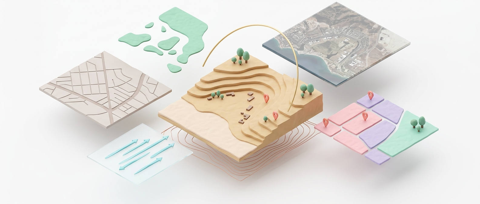
Site Intelligence
Understand any site in minutes, not weeks
10 analysis groups running on a hybrid map engine. Satellite imagery, building atlas, POI detection, environmental data, and custom drawing tools with snap-to-boundary precision.
- Country, region, and city-scale context layers
- Custom analysis groups with inline text editing
- Satellite overlays with Google and Mapbox engines
Parametric Design
21 instruments. One construction plane.
Build 3D urban models with parametric towers, custom facades, green networks, water features, and intelligent site grading. Every object snaps to a real-world coordinate grid.
- Parametric towers with curve-driven facades
- Paths, arrays, grading, and green networks
- Real-time area and density calculations

AI Visualization
From 3D massing to photorealistic render. Instantly.
Transform your design scenes into photorealistic visualizations using Gemini AI. Multiple styles, model presets, and geo-anchored map overlays for context-sensitive rendering.
- Multiple AI models and style presets
- Geo-anchored renders that sit on the real site
- Node-based render pipeline for advanced control

Deliverables
One-click presentations. Zero PowerPoint.
Auto-generate professional slide decks from your analysis and renders. Storyboard planning with batch render processing. Export to PPTX and share with stakeholders in minutes.
- Automated PPTX generation from project data
- Storyboard editor with custom render settings
- Batch processing for multiple viewpoints