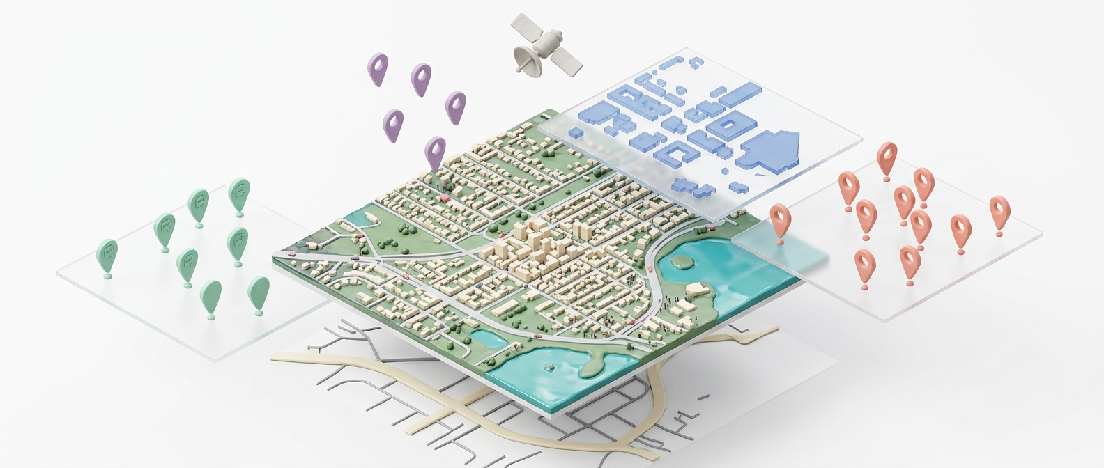
Satellite Intelligence
Every site starts with real-world context.
Hybrid map engine combining Mapbox vector maps with Google satellite raster imagery. Switch between views, zoom to any scale, and overlay analysis data instantly.
- Google Satellite + Mapbox hybrid engine
- Country, region, and city-scale data layers
- Real-time coordinate and boundary detection
10 Analysis Groups
Structured analysis. Zero context-switching.
From regional context to micro-scale environmental data — each group is a dedicated workspace with its own layers, drawing tools, and export pipeline.
- Country, Region, City, Satellite, Building Atlas
- POI Detection and Environmental groups
- Custom groups with snap-to-boundary tools

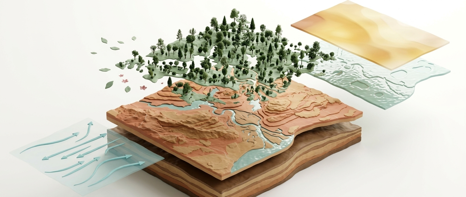
Environmental Data
Green coverage. Contours. Wind. Sun. All in one layer.
Overlay environmental data directly on your site — vegetation indices, topographic contour lines, solar exposure, and wind corridors. Make informed decisions without external consultants.
- Topographic and environmental overlays
- Green area analysis and coverage metrics
- Exportable analysis for reports