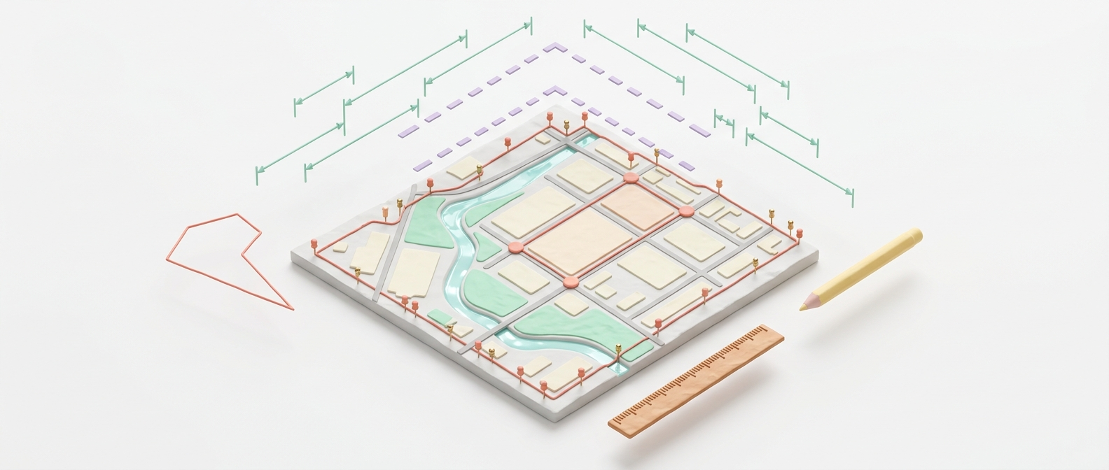
Context-First Design
Draw right on the map. Always in context.
Familiar drawing tools let you diagram, annotate, and design directly on satellite imagery. Custom analysis groups, snap-to-boundary precision, and inline text editing keep you grounded in reality.
- 10 analysis groups with layers you control
- Snap-to-boundary drawing tools
- Satellite, POI, and environmental overlays
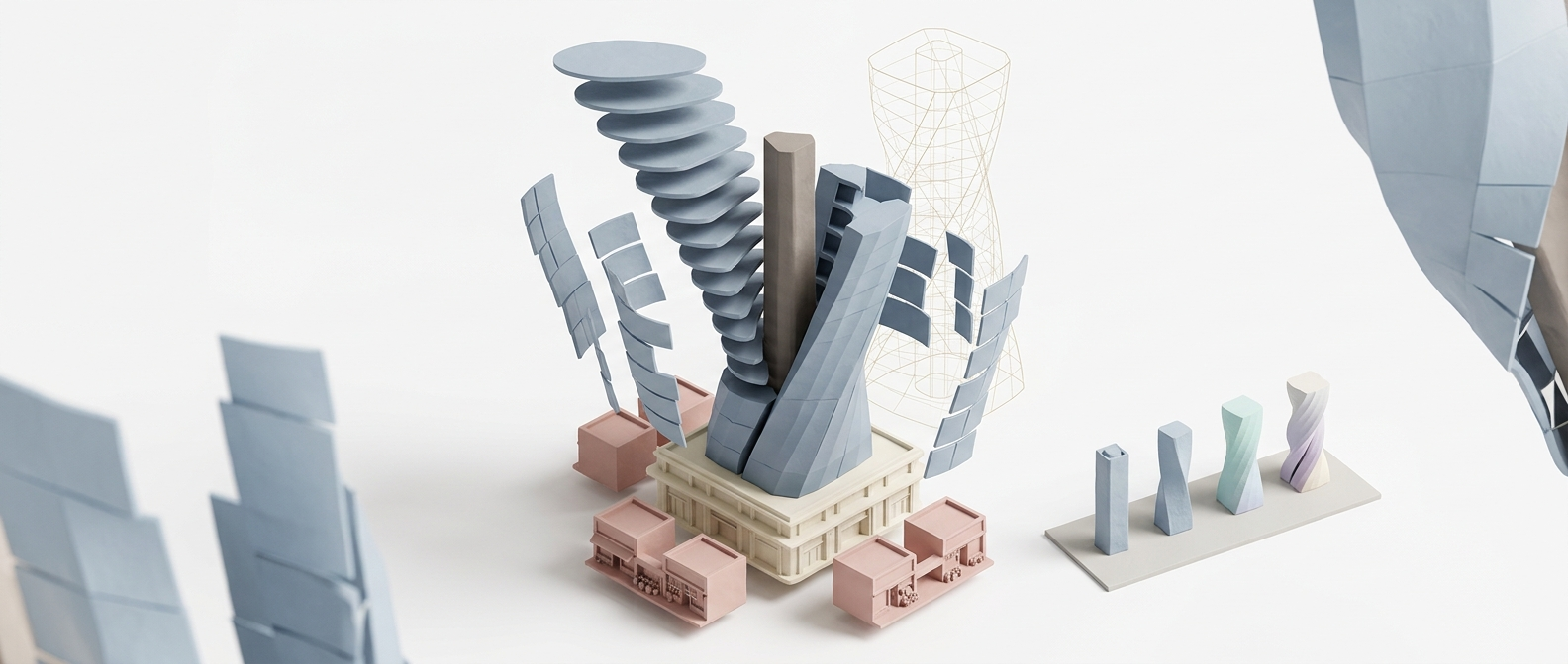
Parametric Massing
From sketch to 3D. The platform does the numbers.
Build parametric towers, adjust facades, set floor-to-floor heights, and let the engine calculate GFA, FAR, and coverage for you. No spreadsheet needed.
- 21 design instruments including towers and arrays
- Real-time area and density calculations
- Construction plane-based CAD precision
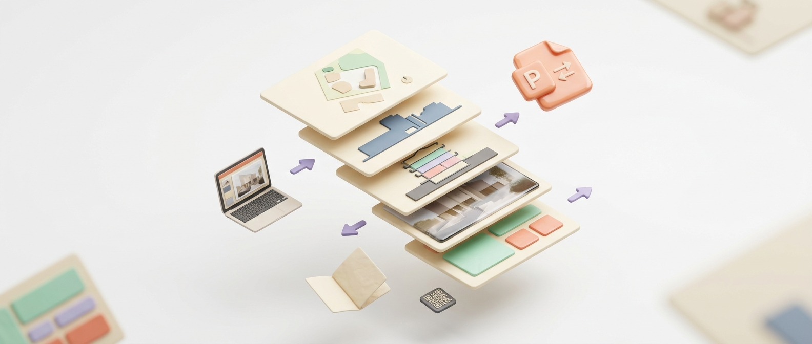
Deliverables
Export presentations your clients will remember.
Auto-generate PPTX slide decks from your analysis, renders, and project data. One click from design to a professional deliverable. No formatting, no fuss.
- Automated PPTX generation
- AI-rendered visualizations embedded
- Storyboard editor for custom narratives